-
01566 784050
About Lezant
The Parish of Lezant is an agricultural parish in North Cornwall measuring and is designated an Area of Great Landscape Value with part of the parish being within the Tamar Valley Area of Outstanding Natural Beauty. The parish is situated between Launceston to the north and Callington to the south. The population of the Lezant Parish in the United Kingdom Census (2011) census was 756. The major centres of population are based around six villages: Lezant, Trebullett, Trekenner, Treburley, Rezare and Higher Larrick.
Lezant Parish, Lezant village, Trebullett, Trekenner, Treburley, Rezare, Higher Larrick, St Briochus Parish Church, Trebullet Methodist Church, Trekenner County Primary School, St Briochus Parish Church Hall, Trebullet Methodist Church Hall, Lezant Parish playing field Jubilee Field, Treburley Social Club, Treburley industrial estate, Treburley Garage, motor repair workshop, Springer Spaniel public house, Restaurant, River Inny, River Tamar, Little Comfort, Greystone Quarry, A388, Launceston, Callington
OgImage:
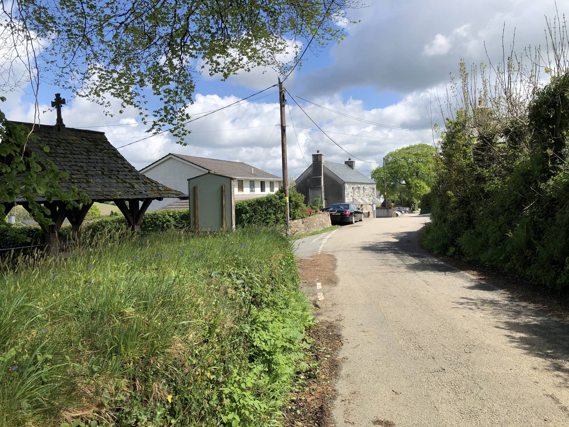
The Parish of Lezant is an agricultural parish in North Cornwall measuring approximately 1,956 hectares (4,835 acres). A large part of the parish is designated an Area of Great Landscape Value, and part of the parish lies within the Tamar Valley Area of Outstanding Natural Beauty.
The parish is situated between Launceston to the north (population around 7,000) and Callington to the south (population around 4,000).
The boundary to the south and west is marked by the River Inny, and to the east by the River Tamar.
To the west, the parish stretches as far as Ruses Mill, whilst the northern boundary includes Little Comfort and the Greystone Quarry.
In 2009 there were 310 households in the parish, containing 632 adults of voting age.
The major access route to the parish is via the A388 between Launceston and Callington.
The major centres of population are based around 6 villages: Lezant, Trebullett, Trekenner, Treburley, Rezare and Higher Larrick.